In this Dev Log, I'd like to share more about the terrain and environment in Battlespace Command.
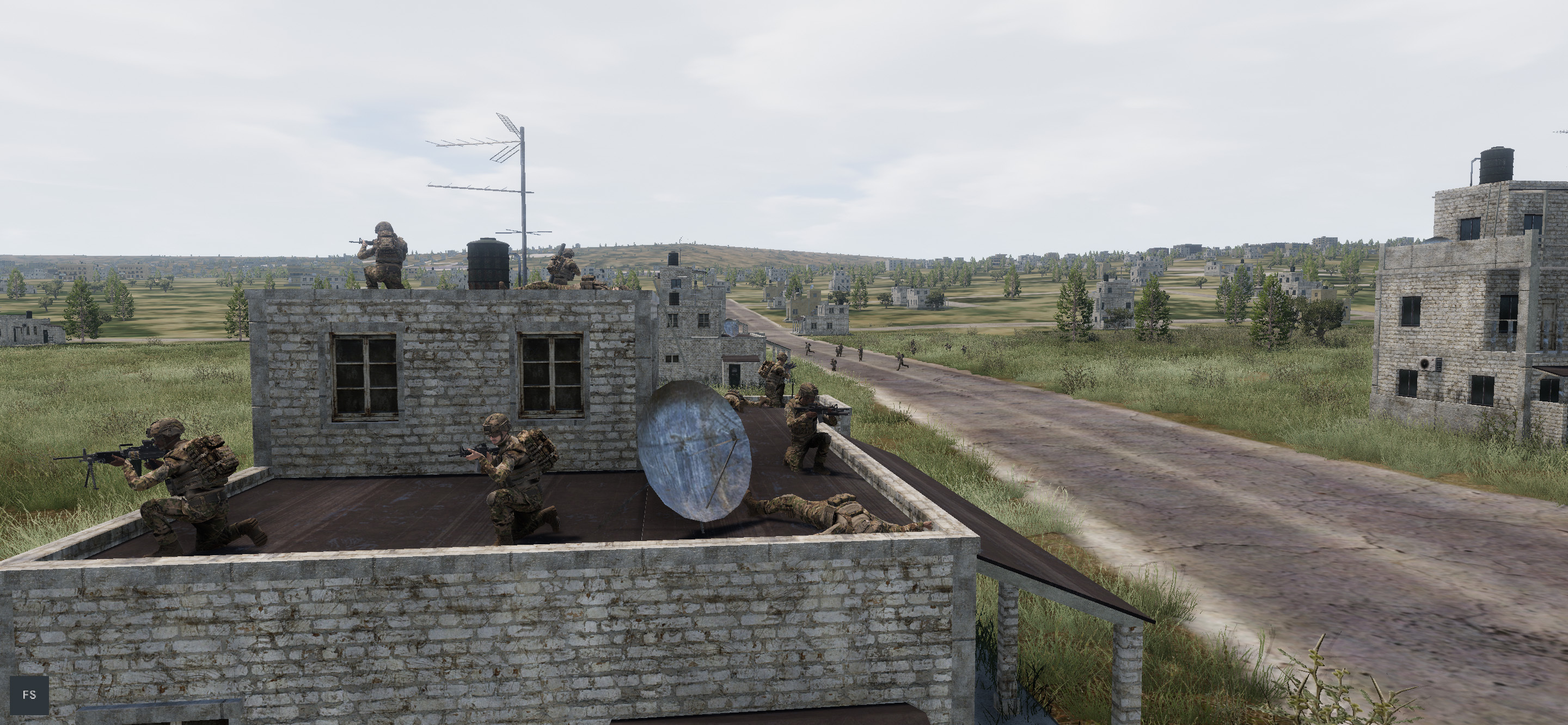
Right now, Battlespace Command includes 6 maps, each created using real-world terrain data. Each map is square and 2,500km across (6,250,000 km² area). A map centered on the Korean peninsula, for example, spans from Shanghai near its southwestern corner to Vladivostok near the northeastern corner. The purpose of these massive maps is to enable long-range and supporting units to play their proper role; realistically depicting the role of AEW platforms, electronic warfare, ballistic missiles, tactical airlift, air-air refuelling, and similar requires this level of scale.
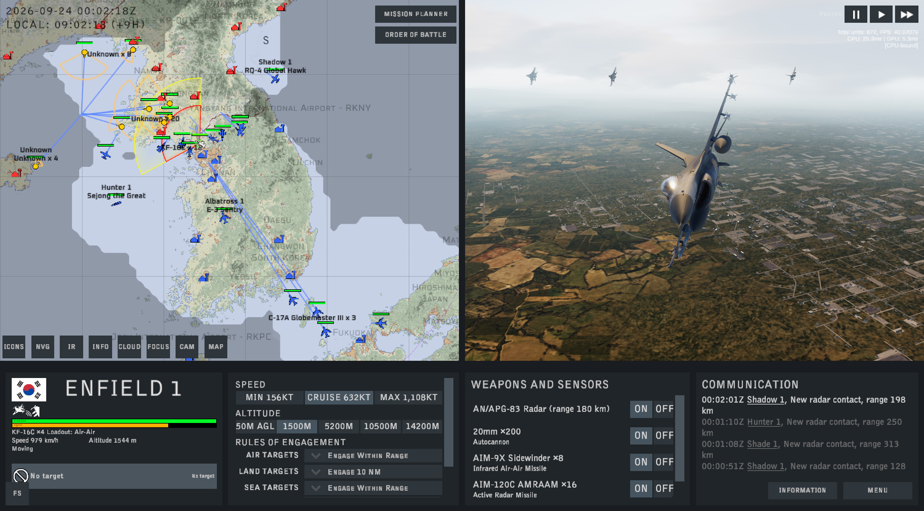
The terrain type, elevation, location of cities, climate, and so on are all sampled from real-world datasets. The game then procedurally generates the finer details to fit that data. So, for example, towns and cities are in the correct location, but the layout of streets and buildings within them is fictional.
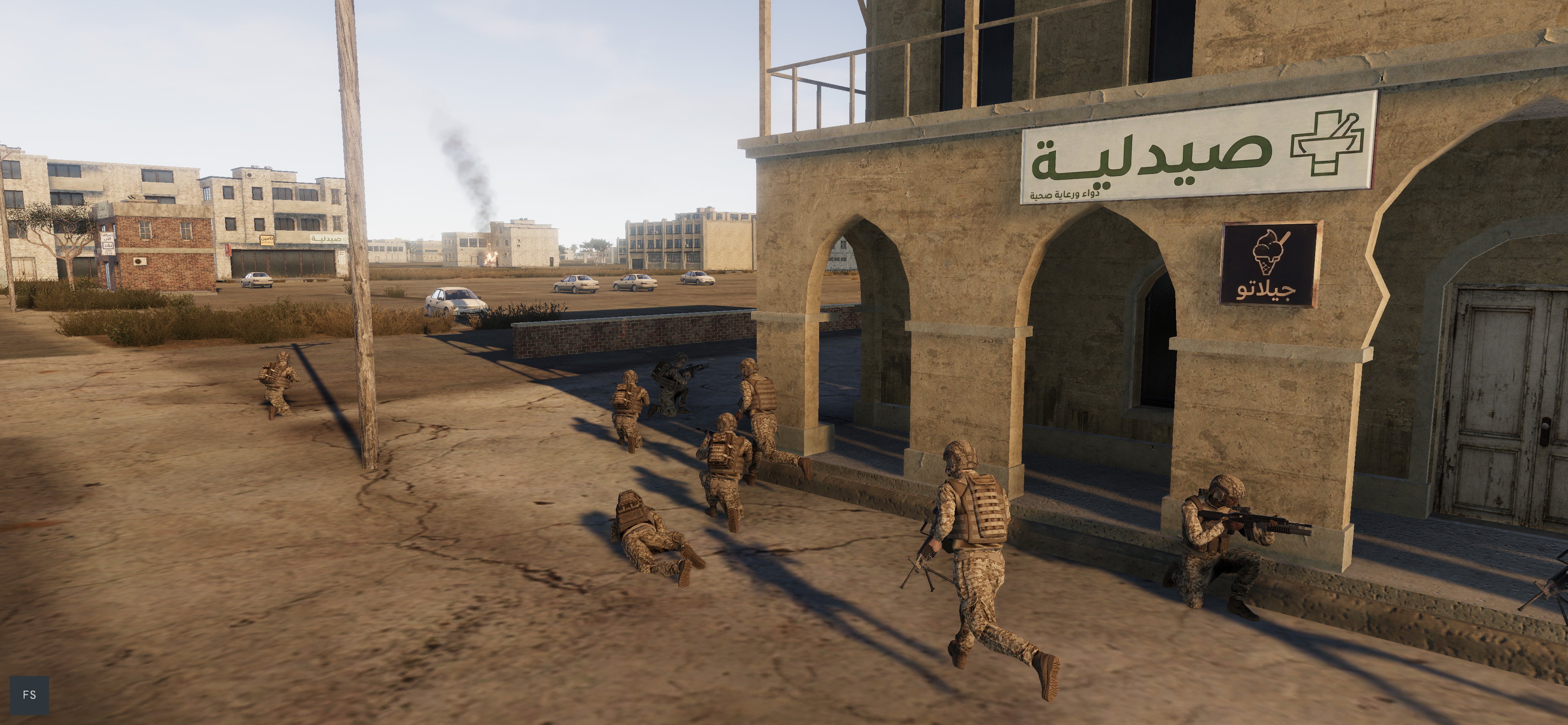
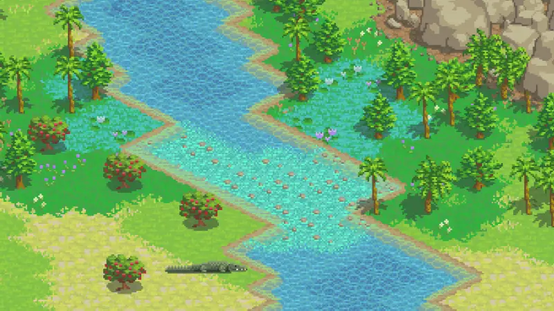
Different regions of Earth feature different types of vegetation and different architectural styles. Signage on buildings or street signs also changes based on the country. Farmland in Korea looks distinctly different from farmland in Europe, the Middle East, or central Africa.
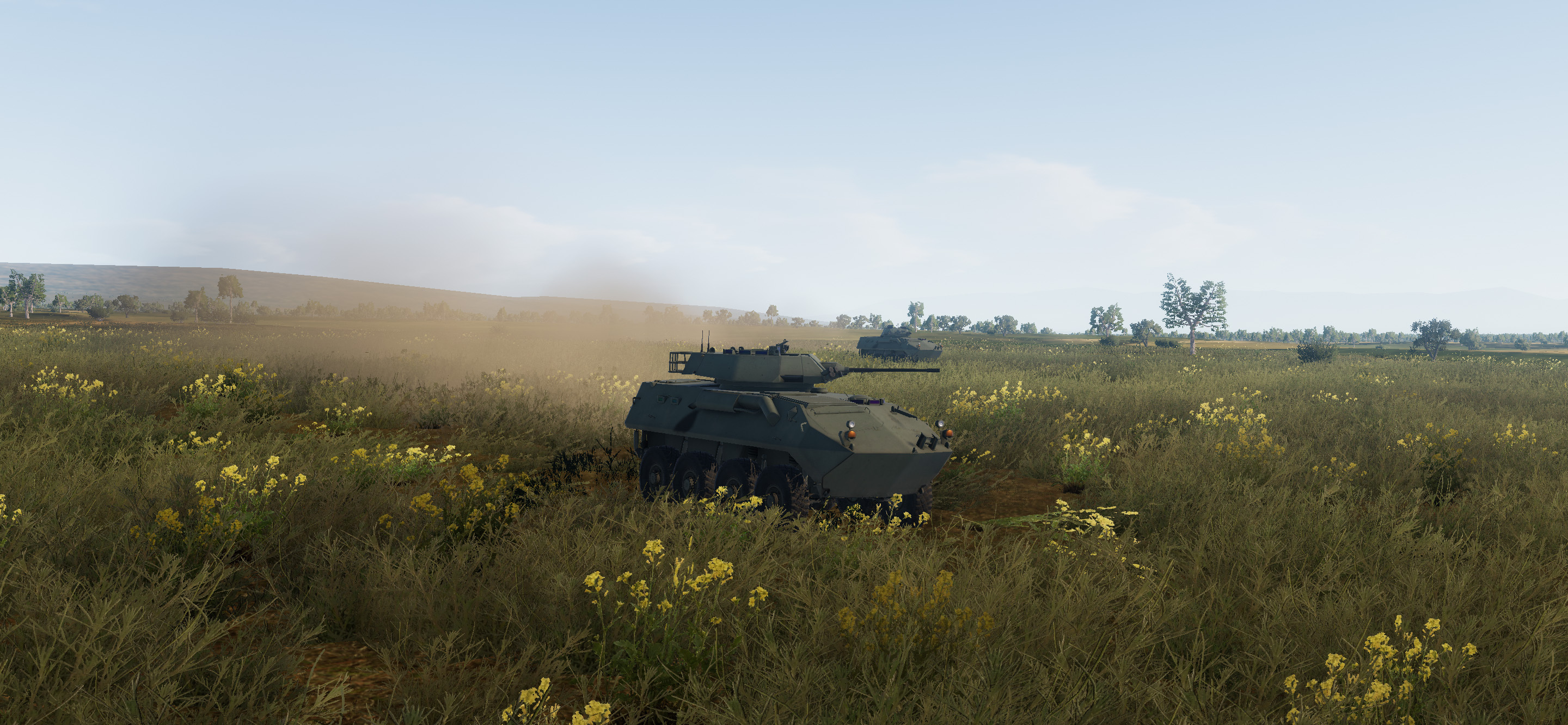
In-game, terrain has a huge impact on how units move and fight. Each terrain type has modifiers for cover and concealment, which affect how easily a unit can be spotted and how vulnerable it is to incoming fire. A rifle squad standing in a barren desert can be spotted quickly from a great distance, while a squad concealed in a dense urban area or jungle is difficult to detect even at close range. Terrain also defines how quickly units move; a vehicle on a road can move far more rapidly than a vehicle moving off-road through a swamp.
Infantry can enter any building on the map, significantly boosting cover and concealment. However, buildings are destructible; a large bomb or missile can quickly bring down a building.
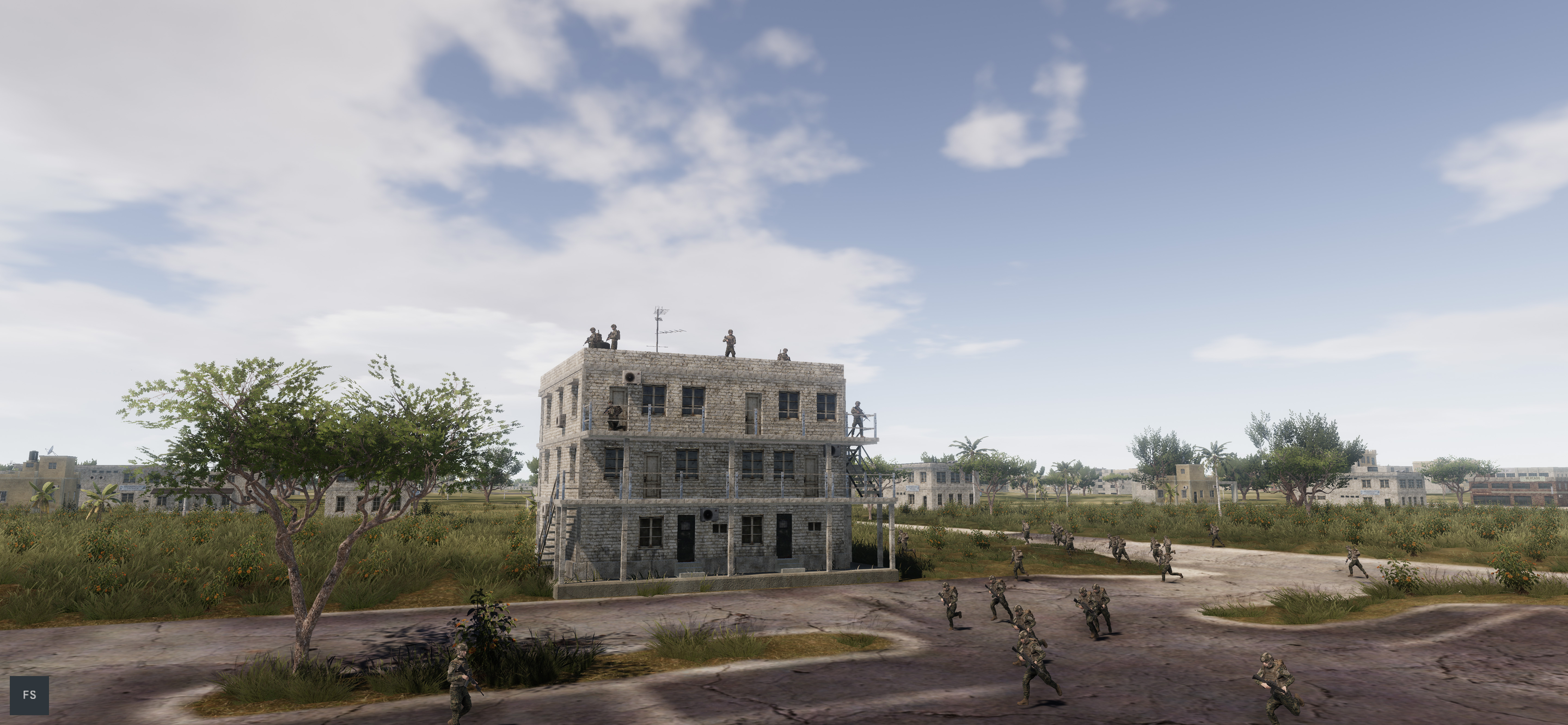
When commanding your forces, it is essential to understand the shape of the battlefield - as sensors cannot see a unit that is concealed by a hill or valley. Careful mission planning to make use of terrain can make an enormous difference to your forces' chances of survival in a high-threat environment.
Besides the contour map, the game helps the player understand the terrain through:
- Visualisations of radar, visual, and weapon range of the selected unit,
- A tool to check what a unit could see from any point on the map,
- Fog-of-war shading, showing you the maximum range at which your forces are likely to spot a typical target.
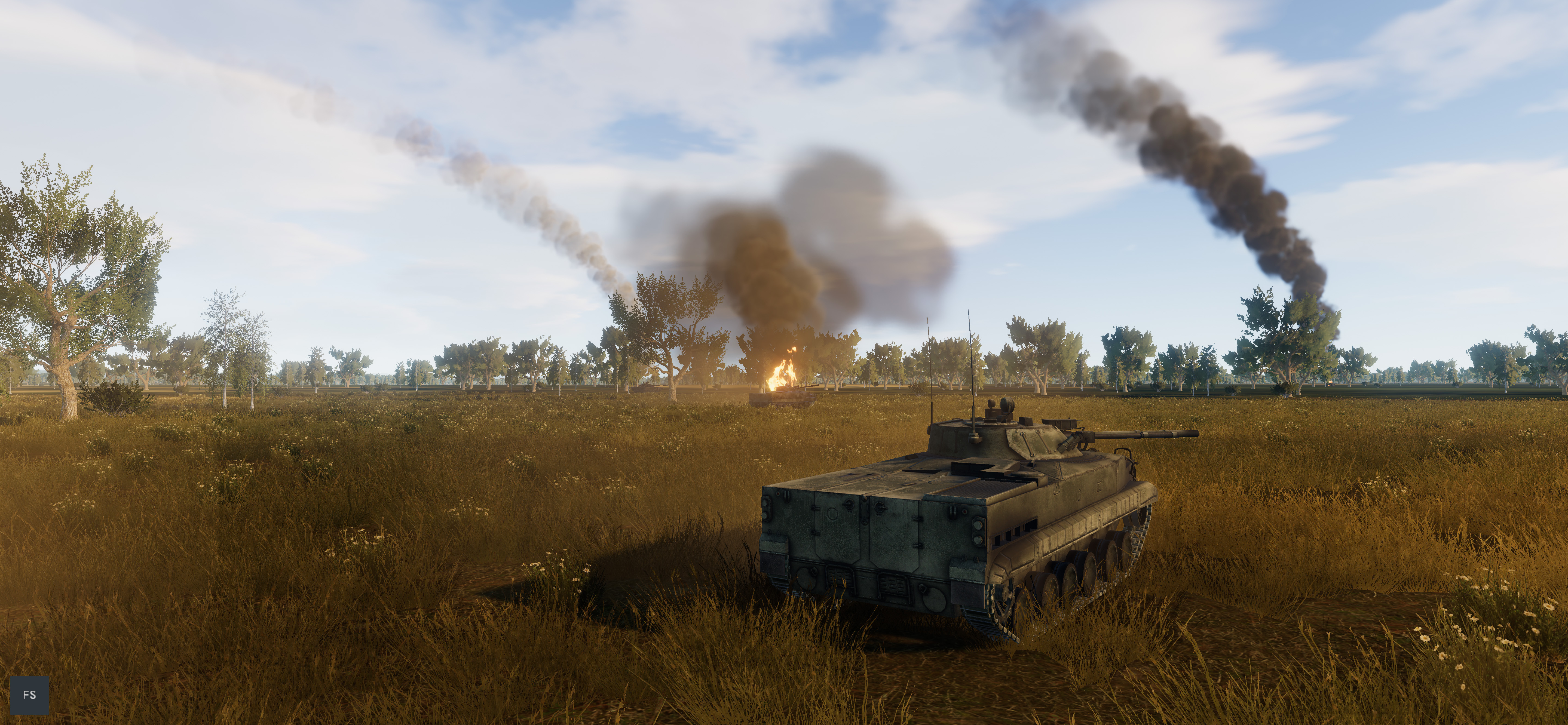
The terrain system is largely complete at present. In recent weeks, I have been focusing on building out on the variety and realism of vegetation types, as well as the user interface to help the player visualise and understand the terrain.